

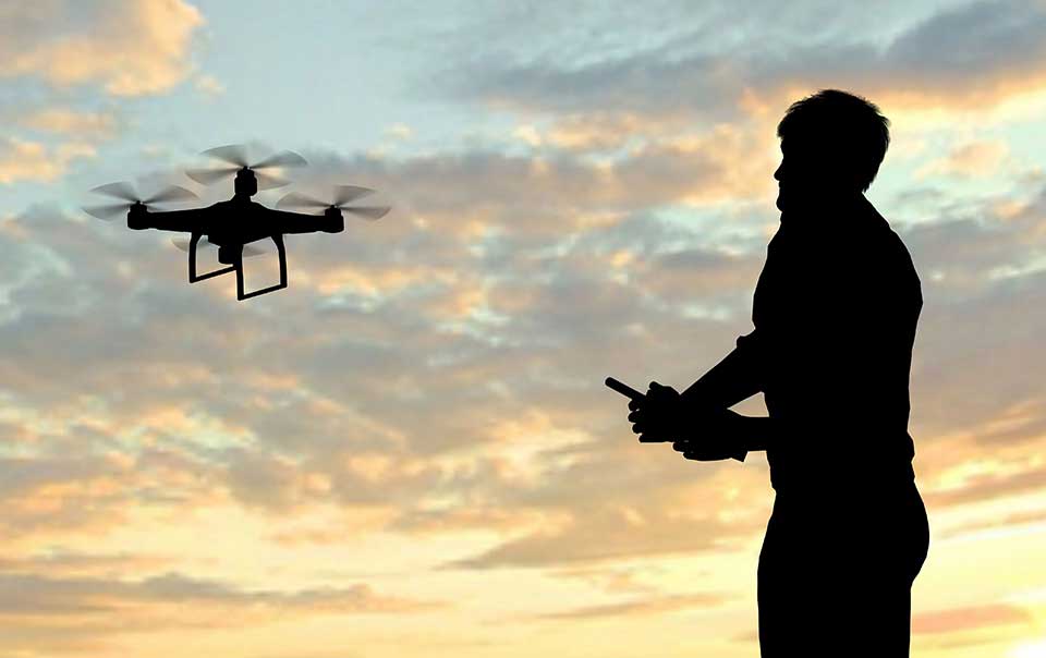
A drone photography Drones have become an increasingly popular trend among professional and amateur photographers. In addition to allowing you to capture stunning aerial images, this technology offers new creative possibilities for those who want to explore innovative angles. With the help of mobile apps, it is possible to control drones efficiently and ensure incredible results. In this article, we will explore how to use the best apps to fly drones and improve your aerial photography experience.
On the other hand, it is important to remember that flying drones requires responsibility and technical knowledge. Furthermore, choosing the right apps can make all the difference in the safety and quality of the images captured. From remote control to photo editing directly on your cell phone, there are several tools available to optimize your work. So, let's dive into the world of drone apps and find out how they can transform your photography.
Apps for Controlling Drones via Mobile Phone
DJI Fly: The Official App for DJI Drones
DJI Fly is one of the most popular apps for controlling DJI drones. It allows you to access advanced features such as aerial mapping and drone camera settings. In addition, the app offers interactive tutorials for beginners, making it easy to learn how to fly drones safely.
To download DJI Fly, simply access the PlayStore or AppStore and download it for free. Once installed, the application allows you to view captured images in real time and make basic edits directly on your phone. This feature is ideal for photographers who want to speed up the creation process.
Litchi: A Versatile App for Aerial Drone Photography
Litchi is another must-have app for those looking for creativity in drone photography. It offers features such as HDR mode, manual camera control, and integration with mapping platforms. In addition, the app allows you to create automated flight routes, ensuring greater precision in the captured images.
You can download Litchi from the PlayStore or AppStore, although it is a paid app. However, the benefits it offers justify the investment, especially for professionals who want to explore all the possibilities of aerial photography. With Litchi, you can edit drone photos on your phone and share them directly on social media.
DroneDeploy: Complete Solution for Aerial Mapping
DroneDeploy is an app designed for aerial mapping and technical inspections. It uses data collected by drones to create detailed maps and 3D models. In addition, the app offers advanced features such as terrain analysis and distance measurement.
To download DroneDeploy, go to the PlayStore or AppStore and download it for free. Although some features are paid, the basic version is enough for beginners who want to explore the potential of drones for mapping. With this app, you can ensure safety when flying drones in complex areas.
Conclusion
A drone photography Aerial photography is a constantly evolving field, and mobile applications play a key role in this process. By downloading the applications mentioned in this article, you will be equipped with the best tools to capture aerial images safely and creatively.
